Jan 182025
Here is my attempt to remind our illustrious world leaders of the importance of proper cartography:
Is it really too much to hope for that they respect the esteemed profession of mapmaking?
Here is my attempt to remind our illustrious world leaders of the importance of proper cartography:
Is it really too much to hope for that they respect the esteemed profession of mapmaking?
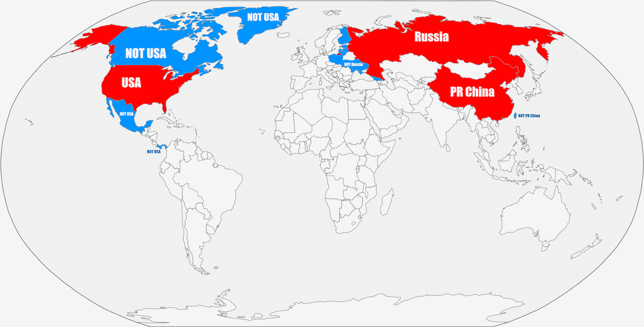
Greenland is surprisingly large in this projection :)
Another curious observation is usage of red and blue colors. Especially in case of Alaska :)
Also so-called “Near East” is omitted, probably to avoid getting things over-complicated.
Red is the color of the US Republican Party. And of course it’s been consistently associated with the USSR (hence, Russia) and the PRC.
Ah, colors of US parties – I forgot about this yet-another association, thanks! Meanwhile I checked out that Taiwanese flag is also largely red (with blue corner). Though I just meant we probably may want 3-4 colors to separate US from Russia and China. I believe 4 colors are always enough on sphere as on plane (?).
And yet another association is “ours” and “theirs” coloring on military maps. I remember being told that on Soviet/Russian maps “ours” are red and “theirs” are blue (contrary to usage in the most other armies) simply because initially bolsheviks (?) had no maps of their own relying on documents captured and stolen from enemies.